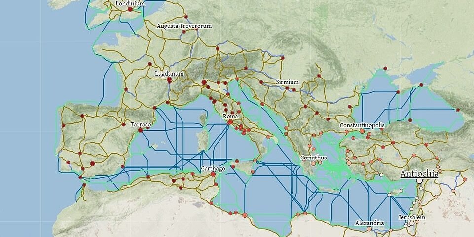
Historians from Stanford University (USA) have created the largest interactive map of the Roman Empire. In its heyday, this state occupied 2,750,000 square kilometers, covering most of Europe.
Thanks to this project, anyone can travel around the world around 200 AD. The map includes 632 objects, including settlements and mountain passes.
The most interesting thing is that she has a calculator with which you can calculate the time and expenses for traveling from one ancient city to another. It takes into account the season and the mode of transport — on foot, on horseback, on an ox-drawn cart, with the help of a porter or in a private chariot.

You can also choose between the fastest, cheapest and shortest routes. In addition, there is a filter that excludes certain rivers, seas or roads.
So, a trip from Londinium (London in the Roman Empire) to Rome (2,643 kilometers) in July would take 21 days. It would cost about 1,031 denarii (ancient Roman silver coins). Here historians give an example: unskilled workers of that time earned one denarius a day. That is, it is almost three years of service.
In general, the road transport network of the map is 192,810 kilometers.